After a leisurely breakfast and farewells to our gracious hosts from the last four days, we “set sail” for Mossel Bay, continuing east along the Garden Route (N2). Our journey took us from the Over Berg back down to the cooler temperatures of the coast. During our travel along the N2, we noticed a fair bit of construction as they work on improving the road, with long stretches of highway reduced to a single lane. Signs warned that we might be stuck for up to 30 minutes or more as cars from the opposite direction passed through. Thankfully, our timing was pretty spot on, though we weren’t in any hurry. The other mystery along the way was the speed traps—I just couldn’t figure out where they were hiding! I suppose I’ll find out when I return the car.
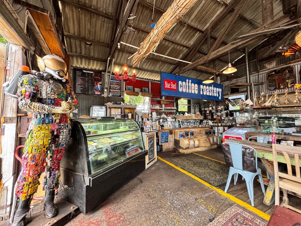
We picked up provisions at the local “Food Lovers Market”—a paradise for fresh fruit and vegetables—and arrived in Mossel Bay about two hours later. After meeting our host, we settled into our home for the next week. Our place is situated on a point above Santos Beach, with a view of the Indian Ocean. We’ve taken things pretty easy since we’ve been here, but we’ve discovered some excellent places to eat and some fantastic coffee spots. Coffee is a big part of the culture here, and there are some quirky places to enjoy a cup.
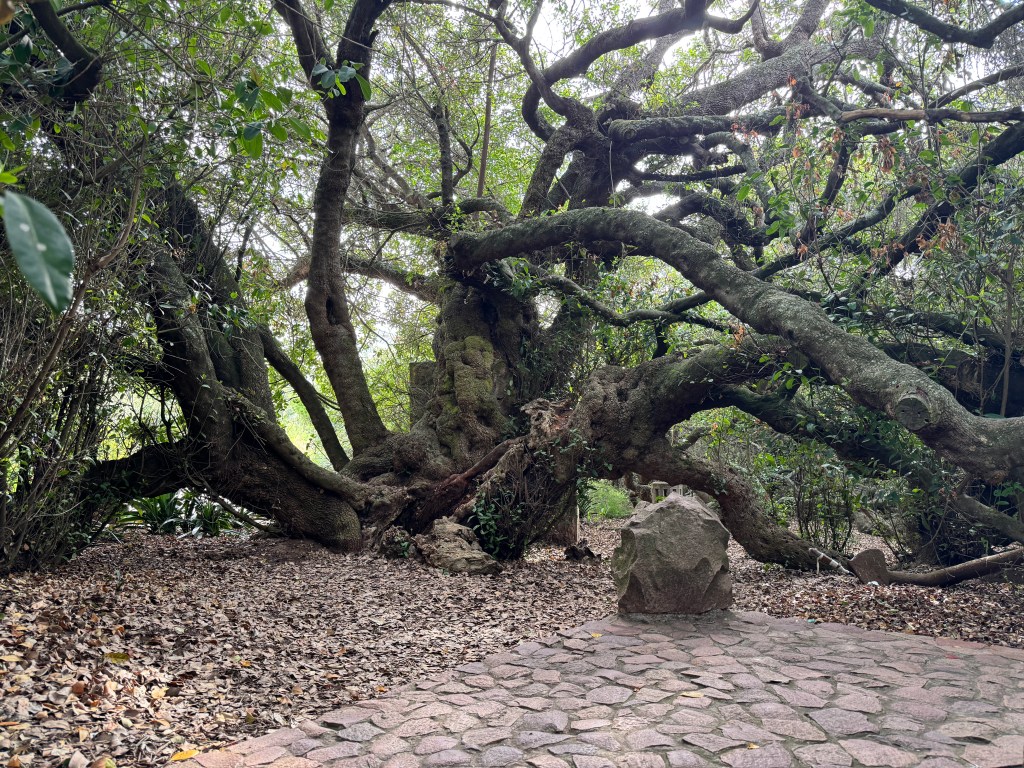
Mossel Bay is steeped in history, and one of the most fascinating things for me is the “Postal Tree.” In 1500, a Portuguese sailor used it as a makeshift postbox, placing a letter in his shoe and tying it to a Milkwood tree to warn subsequent Portuguese fleets of impending danger. From there, sailors began using the tree to deliver and receive messages from around the world. It’s believed to be Africa’s first postal system and was declared a national monument in the late 1960s.
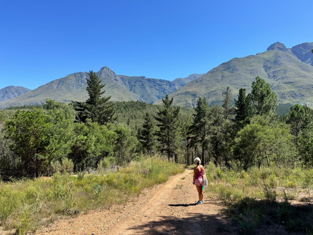
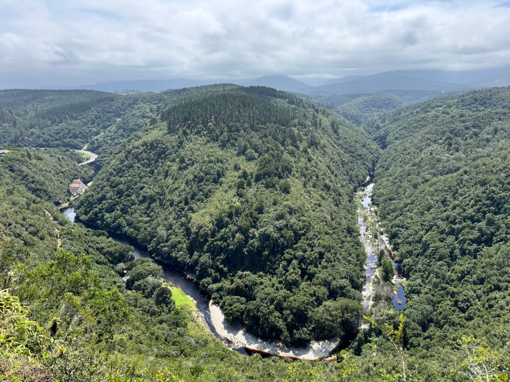
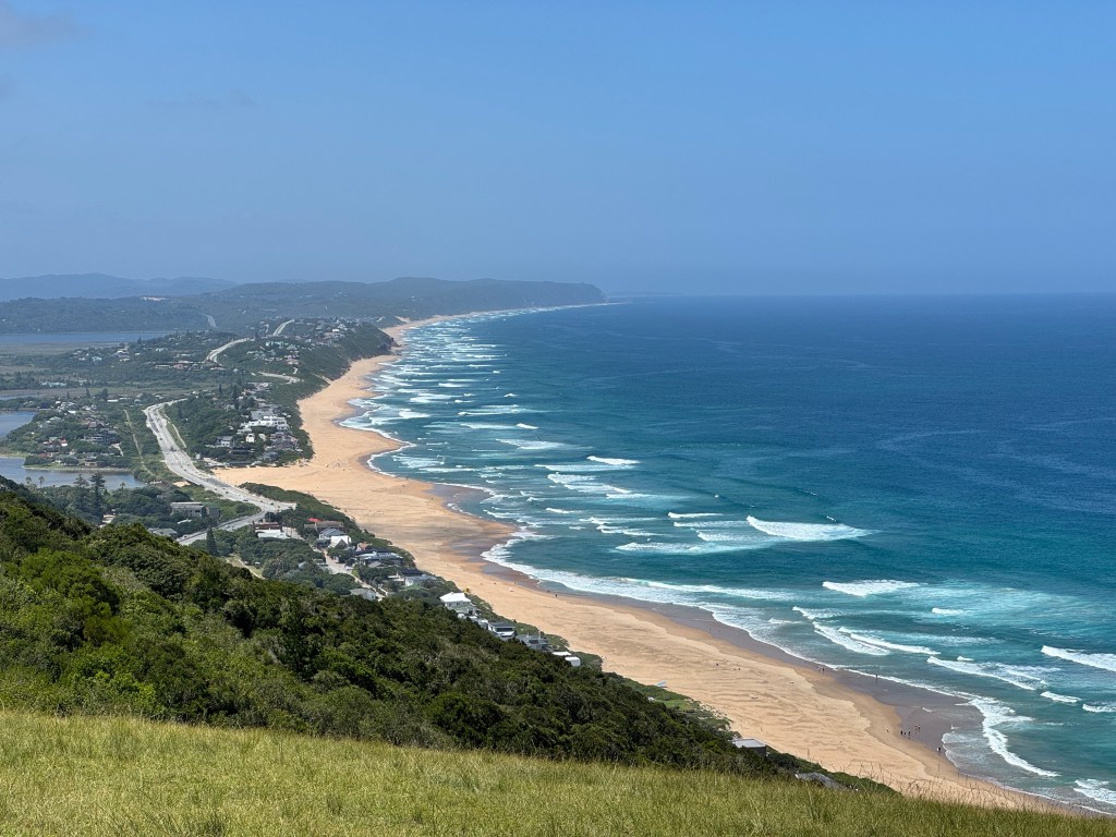
We’ve seen some beautiful locations while here, and one memorable day took us to Wilderness. Just off the N2, Wilderness is a small hamlet with a few restaurants, a couple of coffee shops, an ice cream parlour, a doctor’s office, and a gas station. To truly appreciate how beautiful this place is, you need to get above it. So, after a short drive up a mountain, we were treated to a panoramic view of both sides. On one side, we saw “The Map of Africa,” a land formation mysteriously carved out by the brown waters of the Kaaimans River, which has turned that color due to tannin from tree roots. It bears a remarkable resemblance to the African continent. On the other side, we found people sitting on a grassy mound, seemingly in a hypnotic state, gazing at what we both agreed was the most incredible coastal view we’ve seen since we arrived.
This area is also a popular spot for paragliders, who launch themselves off the side and soar along the light winds, eventually landing on the beach—what an amazing experience that must be!